08 November 2026, 06:21
The Amazing South: The Danube Lakes—A Sea in the Steppe
Ця стаття також доступна українською

The Danube Lakes. PHOTO: rubryka.com
In the very south of the Odesa region, in the lower reaches of the Danube, lies the unique system of the Danube Lakes—the aquatic heart of Ukraine’s Danube region. These are numerous bodies of water that vary in origin, size, and ecological characteristics. More details about them will be covered in the next installment of our regular column, “The Amazing South.”
How the Black Sea Created the Lakes
In the lower Danube region, in the south of the Odesa Oblast, there are more than 25 lakes. Based on their origin, they are divided into valley-estuary and floodplain lakes.
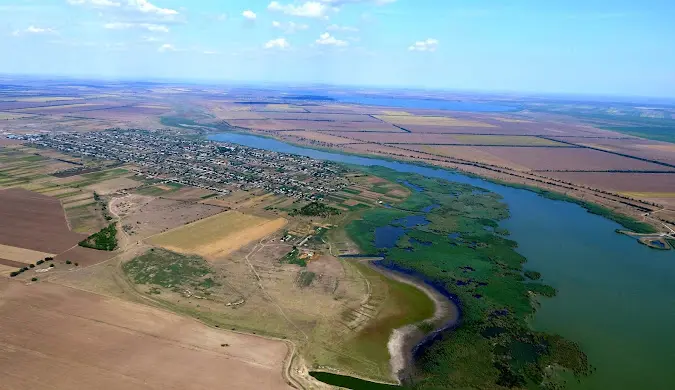
Danube Lakes. PHOTO: silahromad.com.ua
According to one scientific explanation, valley-estuary lakes formed in the place of ancient river valleys. As a result of the post-glacial rise in the Black Sea’s water level, seawater flooded the lower Danube and river valleys, forming bays and estuaries.
Later, as the Danube Delta formed, river sediments gradually separated these bodies of water from the sea. Thanks to the inflow of fresh water from the rivers, they gradually became less salty. This is how the valley-estuary lakes were formed, including Yalpug, Kagul, Kitay, and Katlabukh. In contrast, Kugurlui and Kartal are of floodplain origin—they formed directly in the low-lying Danube floodplain.
The shores of the Danube lakes vary: in some bodies of water, they are high and steep; in others, they are low-lying and marshy. Many lakes are elongated from north to south.
Lake Yalpug
Yalpug is Ukraine’s largest natural freshwater lake, located in the south of the Odesa region. It stretches nearly 39 km from north to south, and its width reaches 7 km. The water surface area is about 149 km². Despite its size, the lake is shallow: the average depth is about 2.5 m, and the maximum depth is up to 6 m.
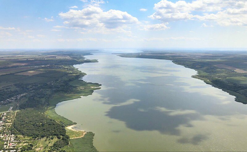
Lake Yalpug. PHOTO: yug.today
The city of Bolhrad is located on the northern shore of Yalpug, and in the south, the lake is connected by a strait to Lake Kugurlui, through which it is linked to the Danube. In the 1970s, a dam with a bridge was built across the strait, over which the Izmail–Reni highway was constructed. The construction of the dam reduced water exchange between the lakes by nearly a third.
The name Yalpug has appeared in historical documents since the 15th century. It derives from the name of the river of the same name, which flows into the lake. According to one theory put forward by researchers, the name is of Polovtsian origin: the word “jalpy” meant “wide,” “sprawling,” or “shallow.”
Kugurlui
Kugurlui is a shallow lake of floodplain origin in the Izmail District of the Odesa Region. It has an irregularly rounded shape, and its water surface area is approximately 82 km². The average depth of the lake is 0.8–1 m, and the maximum depth is approximately 2.5 m. Due to its shallow depth, the water can warm up to 28–30 °C in the summer.
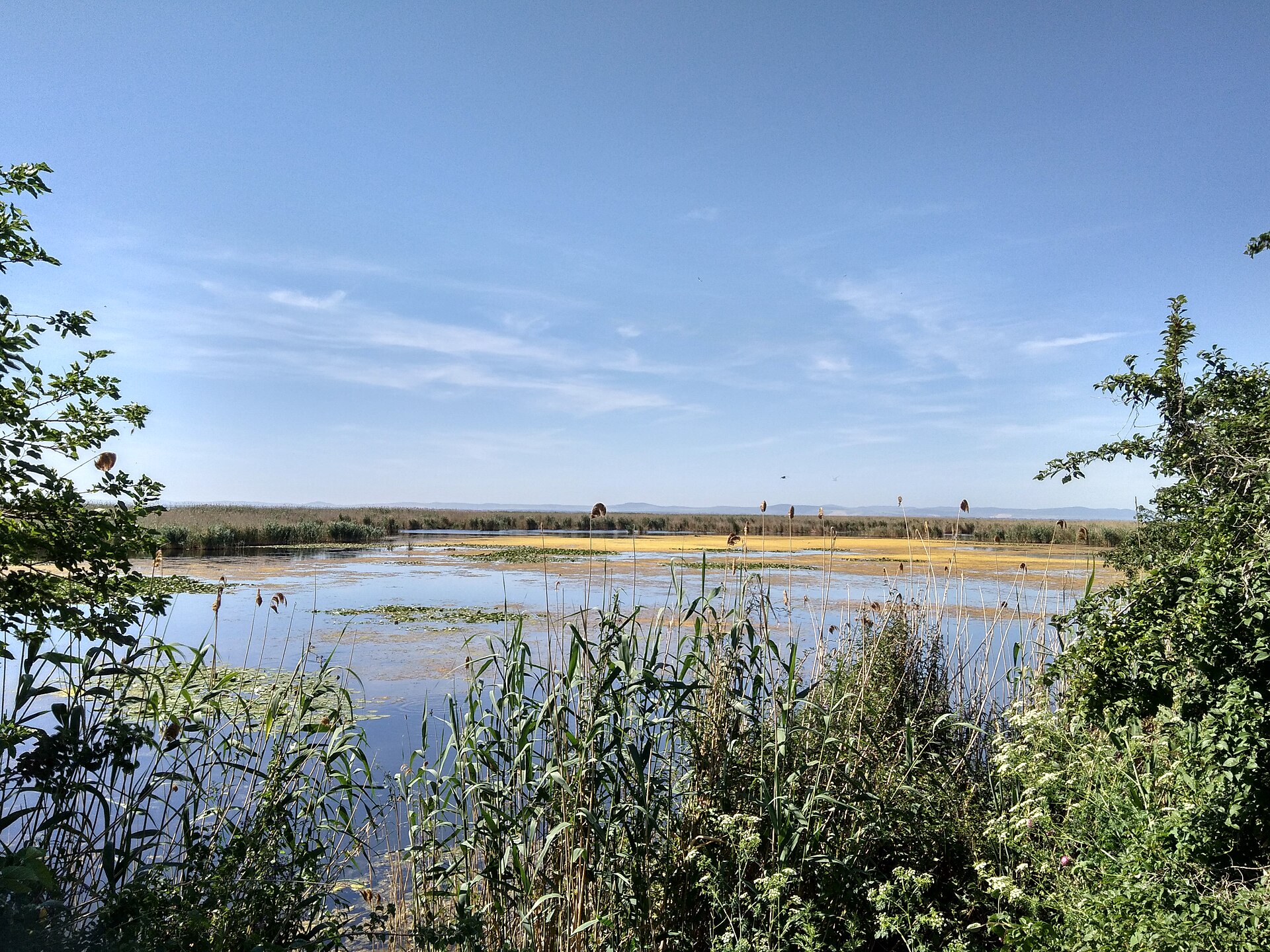
Lake Kugurlui. PHOTO: thumb.wikimedia.org
The shores of Lake Kugurlui are low-lying, winding, and marshy, overgrown with reeds and cattails. The bottom is mostly covered with silt, and aquatic vegetation thrives in the shallows.
In the north, Lake Kugurlui is connected by a channel to Lake Yalpug, and in the east and south—to the Danube via the Velyka and Mala Repida and Skunda channels. The latter is equipped with a regulating lock. The main source of water inflow is the Danube, so the lake’s level depends largely on the river’s water level. Water exchange is regulated by locks. Water from Lake Kugurlui is also used for irrigating agricultural land.
Kagul
Kagul is the westernmost of the large Danube lakes. It is located in the Izmail District of the Odesa Region, east of the city of Reni. It is a transboundary body of water: most of it belongs to Ukraine, while about one kilometer of the northern shore belongs to Moldova.
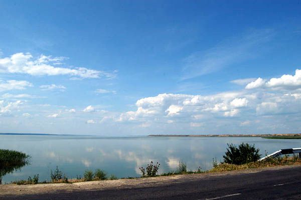
Lake Kagul. PHOTO: ua.igotoworld.com
The lake has an unusual shape: its southern part is wide and rounded, up to 11 km wide, while the northern part is elongated into a narrow strip about 15 km long. Kagul’s area varies depending on the water level and ranges from approximately 82 to 93.5 km². The average depth of the lake is 1.5–2 m, with a maximum depth of up to 7 m. The northern shores are high and dissected by ravines, while the southern shores are low-lying, marshy, and overgrown with reeds.
The Kagul River, which shares the lake’s name, flows into the lake from the north. The lake is connected to the Danube and the neighboring Lake Kartal via channels. Water exchange is regulated by locks, particularly on the Viketa Canal. On the Moldovan section of the shoreline, there is a station from which water is supplied for the irrigation of agricultural lands near the town of Kagul and the village of Giurgiulești.
Kartal
Kartal is a relatively small floodplain lake in the lower Danube region, in the Izmail District of the Odesa Oblast. It is situated between the southern edge of Lake Kagul and the western part of Lake Kugurlui. Kartal is connected to the Danube via the Orlovsky and Prorva canals, and to Kugurlui via the Tobacello strait.
The lake covers an area of about 15 km², is approximately 5 km long, and up to 3 km wide. Kartal is shallow: its average depth is about 1.4 m, and its maximum depth is 2.2 m. The shores are low-lying and marshy, overgrown with reeds and cattails, and the bottom is mostly covered with silt.
The name Kartal is of Turkic origin and means “eagle.” Interestingly, the neighboring village of Orlivka used to have the same name. The name “Kartal” is mentioned in historical documents as early as 1645. In 1946, it was renamed Orlivka, effectively translating the ancient name into Ukrainian.
Kytay
Lake Kitai is located in the Izmail District of the Odesa Region, northwest of the city of Kiliya. It has an elongated shape and stretches from north to south for approximately 24 km. The lake’s area is about 60 km². Kitai consists of two parts—northern and southern—connected by a narrow strait across which a bridge spans. The lake’s shores are mostly high, while the southern shores are low-lying.
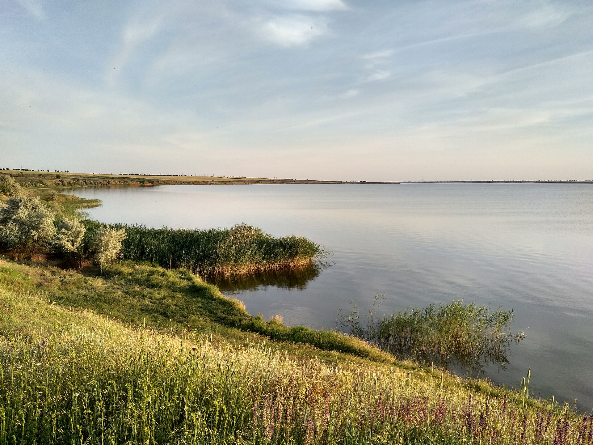
Lake Kitai. PHOTO: thumb.wikimedia.org
Despite the similarity to the name of the Asian country, researchers offer a different explanation for the lake’s name. According to one theory, it has Turkic roots and derives from the name of one of the Nogai clans, whose members may have inhabited this area.
Today, Lake Kytay functions as a reservoir, but in recent years it has been suffering from shallowing. Among the causes are a lack of precipitation, a drop in the Danube’s water level, significant water evaporation, and the silting up of the canals that facilitate water exchange. In October 2026, due to a critical drop in water levels, China began forcibly replenishing the lake with water from the Danube via the Kofa Canal. This is intended to help stabilize the condition of the lake, which plays an important role in meeting the economic needs of the surrounding communities.
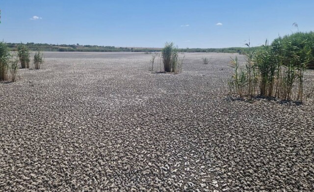
Shallowening and drying up of Lake Kytay. PHOTO: uc.od.ua
Chronicles of the Lake Shores
People settled in the Ukrainian Danube region thousands of years ago. Numerous archaeological sites, including Eneolithic settlements discovered on the shores of today’s lakes, attest to the ancient settlement of this territory.
The Eneolithic Period and the Humeľnytsia Culture
In the second half of the 5th millennium BCE, settlements of the Bolhrad-Aldeni culture—a local variant of the Balkan-Danube Gumelnitsa culture—existed on the shores of present-day Yalpug. These settlements were primarily located on the high banks of water bodies and ranged in size from 1 to 10 hectares. The inhabitants’ main occupations were agriculture and livestock raising, which they adapted to the conditions of the steppe region along the Danube.
In the 1960s and 1970s, archaeologists investigated settlements of this culture near Bolhrad and in the villages of Ozerne and Nahirne. They discovered the remains of mud-brick dwellings, storage pits, stone and flint tools, ornamented pottery, and female figurines. Among the finds at the Bolhrad settlement was the burial of a child approximately 5–7 years old, alongside which were a vessel and animal bones.

Archaeological finds from the Humeľnytsia culture near Bolhrad. PHOTO: yug.today
Traces of the Roman Empire
Near the modern village of Orlivka, not far from Lakes Kagul and Kartal, there was once an important crossing over the Danube. Defensive fortifications were used to protect it. One of these was located on Kam’yana Hora, where archaeologists are currently investigating the Kartal settlement. This is a multi-layered site that existed long before Roman rule in the region.
In the 1st–3rd centuries CE, a fortification operated here that researchers associate with the Danube Limes—the Roman Empire’s system of defensive structures along the Danube. During the excavations, archaeologists discovered Roman coins, fragments of amphorae, and roof tiles bearing the marks of the 1st Italian and 5th Macedonian Legions, as well as the Moesian Fleet. These finds attest to the settlement’s close connection with the Roman military world.
The Ottoman Period and the Cossack Free Lands
At the end of the 15th century, the Ottoman Empire began to establish control over the Lower Danube region. In 1484, the Ottomans captured Kiliya and subsequently extended their authority to other territories in the region. In the 16th and 17th centuries, Nogai nomadic tribes also settled in the Budzhak Steppe, forming the Budzhak Horde.
Fishing remained an important occupation for the population of the Lower Danube region. In Lakes Yalpug, Katlabukh, and Kitay, people fished for pike, crucian carp, and carp, among other species. These bodies of water also played a role in transportation: according to historical accounts, a ferry service operated between Yalpug and Kugurluy during the Ottoman period.
After the destruction of the Zaporizhian Sich by Russian troops in 1775, some of the Zaporizhian Cossacks resettled in the territories of the Ottoman Empire. Later, the Transdanubian Sich emerged in the lower Danube region, which existed until 1828. The Cossacks retained their self-government and engaged in fishing, livestock raising, and agriculture. The Ottoman authorities granted them certain privileges but, in return, required military service, including participation in the campaigns of the Ottoman army.
Modern Era: Resettlement and Changing Borders
In the 19th and 20th centuries, the Danube region underwent numerous changes in state borders and large-scale population resettlements. Under the Treaty of Bucharest of 1812, Bessarabia—including the Budzhak—came under the rule of the Russian Empire. During this period, the resettlement of Bulgarians, Gagauz, and Albanians from the Balkans—which had begun as early as the late 18th century—continued. In 1821, the town of Bolhrad was founded on the banks of the Yalpug River, becoming an important center for Bulgarian settlers.
Subsequently, the region changed its national affiliation several times. In 1856, part of Southern Bessarabia, including Bolhrad, became part of the Principality of Moldavia and later became part of the unified Romanian state. In 1878, these lands returned to the rule of the Russian Empire. From 1918 to 1940, the Danube region was under Romanian rule, and in 1940 it was incorporated into the Ukrainian SSR. During World War II, from 1941 to 1944, the territory was once again under Romanian occupation. After the war ended, the region remained part of the Ukrainian SSR, and since 1991 it has been part of independent Ukraine.
Nature Reserves
“Lake Kartal” Landscape Reserve
In 2019, a landscape reserve of national significance covering an area of 2,141.2 hectares was established on the territory of Lake Kartal and the surrounding lands. The reserve protects valuable wetland ecosystems, habitats for numerous bird species, and areas of steppe vegetation. As early as 1995, Kartal received international recognition—the status of a wetland of international importance under the Ramsar Convention.
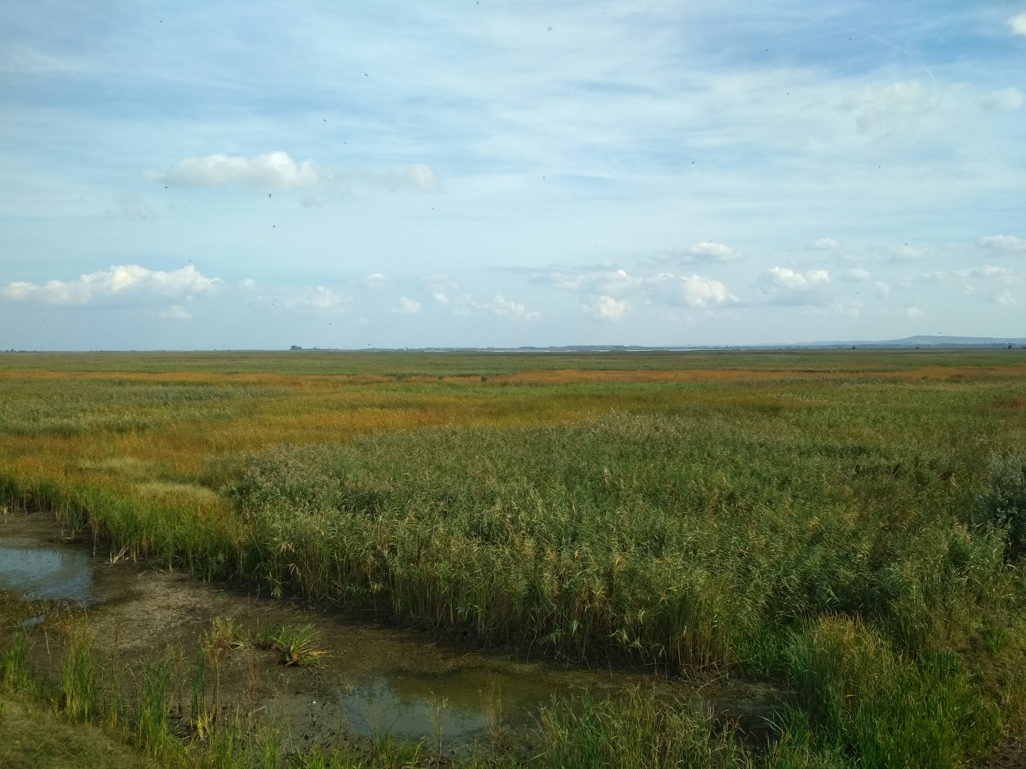
"Lake Kartal" Landscape Reserve. PHOTO: upload.wikimedia.org
In 2017, the “Kartal” Ecopark was established near the village of Orlivka. One of its highlights is the Asian water buffalo that were brought here. The project aims to restore natural ecosystems and develop ecotourism.
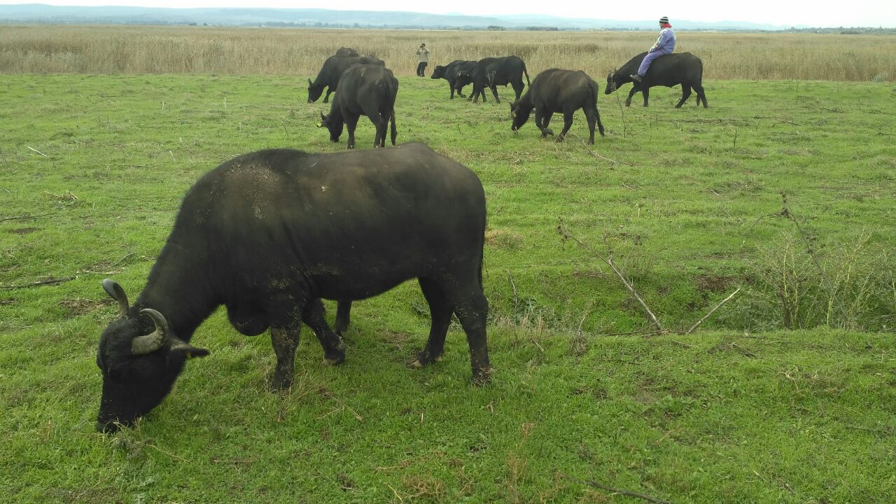
Asian water buffaloes in the “Kartal” Ecopark. PHOTO: wwfint.awsassets.panda.org
"Lake Kagul" Landscape Reserve
In 2019, concurrently with the “Lake Kartal” Nature Reserve, the “Lake Kagul” Landscape Reserve of national significance was established, covering an area of 1,411 hectares. It is located in the Izmail District of the Odesa Region, near the villages of Orlivka and Nahirne and the city of Reni.
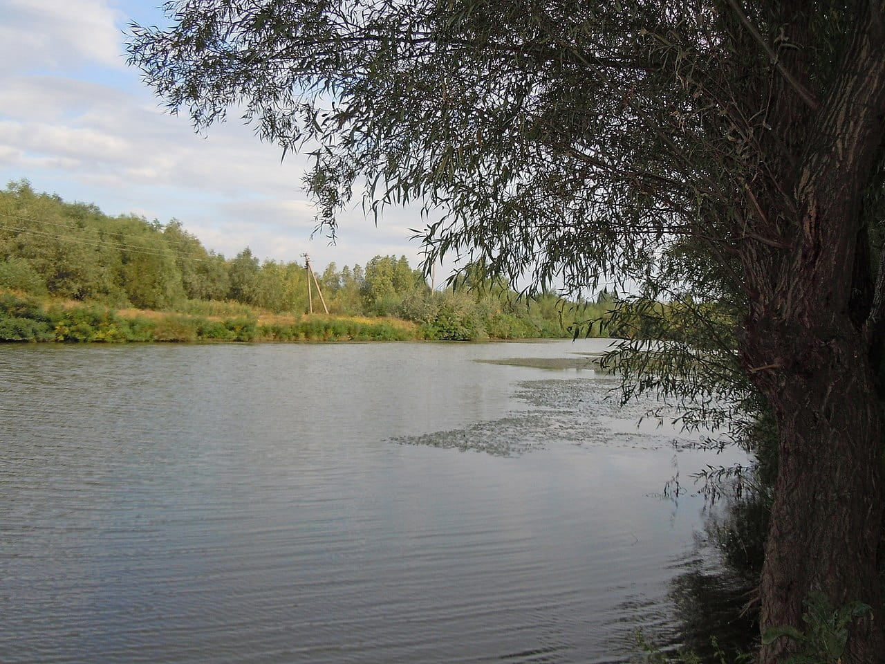
"Lake Kagul" Landscape Reserve. PHOTO: funtime.ua
The reserve includes areas of valuable wetlands and coastal slopes with steppe vegetation. Thus, not only aquatic ecosystems but also the steppe landscapes preserved along the lake’s shores are under protection.
"Lung" Nature Reserve of Local Significance
The “Lung” Landscape Nature Reserve was established in 2001 to protect valuable wetland ecosystems. It encompasses Lake Lung, which is connected to the Katlabukha river system, and the adjacent Bogatyansko-Staronekrassivski floodplains. The reserve covers an area of 1,452.85 hectares.
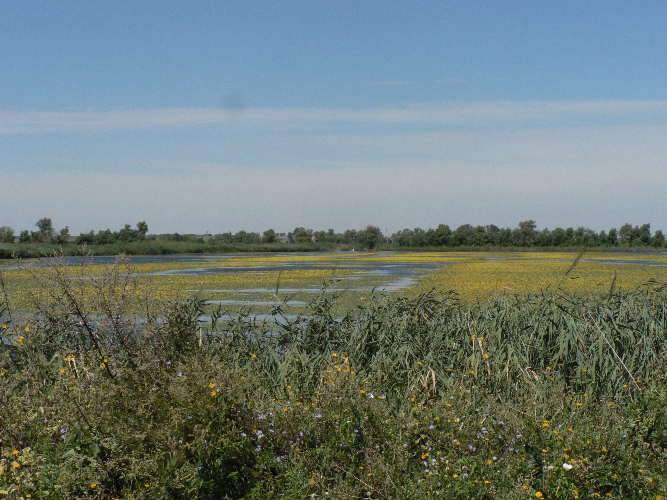
"Lung" Landscape Reserve. PHOTO: upload.wikimedia.org
Rare aquatic plants are found here, including the water chestnut (chilim) and the floating salvinia. The lake and surrounding floodplains also serve as an important habitat for waterfowl and shorebirds.
In 2024, another landscape reserve of local significance was established nearby—“Slopes to Lung”—covering an area of 11.2134 hectares. It encompasses sections of the lake’s riparian buffer zone and steppe slopes. One of the natural features of this area is the colonies of the spotted ground squirrel—a rare mammal listed in Ukraine’s Red Book.
“Vynogradivka” Landscape Reserve
The “Vynogradivka” Landscape Reserve of local significance is located on the shore of Lake Yalpug in the Bolhrad District of the Odesa Region, near the villages of Vynogradivka and Vladichen. It was established in 2001 and covers an area of 297 hectares.
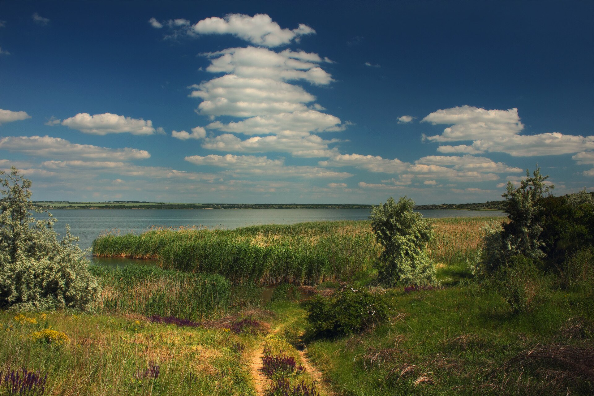
"Vinogradivka" Landscape Reserve. PHOTO: thumb.wikimedia.org
A significant portion of the territory consists of planted forests, among which patches of natural steppe have been preserved, featuring rare plants listed in the Red Book of Ukraine. The preservation of these steppe areas was one of the main reasons for establishing the reserve. Rare reptiles have also been found here, including the yellow-bellied snake and the Crimean lizard, as well as insects listed in the Red Book of Ukraine.
Ramsar Site “Lake Kugurlui”
In 1997, Lake Kugurlui was designated a wetland of international importance under the Ramsar Convention. This area plays a vital role in the conservation of waterfowl, particularly during seasonal migrations and wintering. Among the rare species found here is the Dalmatian pelican, listed in the Red Book of Ukraine.
The Wildlife of the Danube Lakes
Flora
The shores and shallow waters of the Danube Lakes are covered with thickets of reeds and cattails. White water lilies, yellow water-crowfoot, and the floating water chestnut (chilim)—a relict aquatic plant—also grow here. According to research by scientists at the I. I. Mechnikov Odessa National University, the flora of the Danube Lakes comprises 164 species of higher plants.
The world of microscopic algae is also rich and diverse, and these organisms play an important role in the food chains of aquatic ecosystems. During research conducted in 2013–2014, ONU scientist Viktor Gerasyuk identified 125 species of algae in five Danube lakes, 11 of which had not previously been recorded in these bodies of water.
Avifauna
The Danube lakes play an important role in seasonal bird migrations. Here, they nest, rest during their flights, and spend the winter. According to ornithological estimates cited in the international Key Biodiversity Areas database, more than 70,000 birds gather at Lakes Kugurlui and Kartal during seasonal migrations. Among the inhabitants of these bodies of water are herons, cormorants, mute swans, wild ducks, and the rare white-eyed pochard.
The Dalmatian pelican holds a special place among the birds of the Danube region—it is one of the largest waterbirds in Europe and is listed in Ukraine’s Red Book. It has previously been recorded nesting on Kugurlui and Kartali. However, a stable nesting colony never formed on Kugurlui. To help the pelicans breed, conservationists are installing special nesting platforms in the Danube Delta. One of them was built on Yermakiv Island in 2024.
Fish Fauna
The Danube lakes are distinguished by their diversity of fish. According to research by scientists at the I. I. Mechnikov Odessa National University, 41 species of fish were recorded in five large lakes between 2001 and 2012. Among them are the European catfish, sazan (wild carp), pikeperch, pike, bream, crucian carp, and perch.
In addition to native species, the waters also contain fish that were introduced for fisheries purposes. In particular, these include silver carp—representatives of East Asian ichthyofauna.
Environmental Problems
The current state of the Danube Lakes is largely due to large-scale human interference in their natural water regime. Between 1959 and 1970, a system of dams, canals, and locks was constructed along the Danube to protect adjacent areas from flooding and to facilitate irrigation. This system restricted natural water exchange with the river and made the replenishment of many lakes dependent on the operation of hydraulic structures.
In recent years, the situation has been exacerbated by prolonged droughts, a drop in the Danube’s water level, silting of the canals, and the deterioration of the hydraulic infrastructure. Due to a shortage of fresh water, some lakes are shrinking; water salinity is increasing, creating conditions conducive to algal blooms and fish kills. This threatens not only aquatic ecosystems but also the fishing industry and the irrigation of agricultural land.
The problem is particularly acute for Bolhrad, where Lake Yalpug remains the main source of centralized water supply. Due to the lake’s shallowing and deteriorating water quality, the city is facing serious difficulties. To improve the situation, it is necessary to restore water exchange with the Danube, dredge the canals, and modernize hydraulic and water treatment facilities.
Russian aggression is causing additional damage to the natural ecosystems of the Lower Danube region. In particular, on September 27, 2026, as a result of Russian shelling, a large-scale fire broke out in the Danube Biosphere Reserve, engulfing 146 hectares of forest and reed beds. According to estimates by the State Environmental Inspection, the environmental damage exceeded 538 million hryvnias.
Юлія Сичова